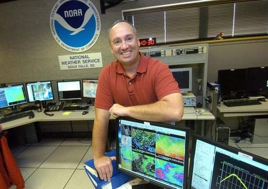
(Le Mars) — Heavy rains from the past few days, along with the forecast calling for additional rains have prompted the National Weather Services to issue flood watches and flood warnings for many rivers within northwest Iowa. Meteorologist Mike Gillispie with the National Weather Services in Sioux Falls says some areas located north of Le Mars received as much as ten
inches of rain within the past week.

Gillispie, the weather services hydrologist, says the Floyd River near Sheldon has already overflowed from its banks, and he is predicting that by later this evening, flooding will occur at Le Mars.

The National Weather Services official makes his prediction as to when the Floyd River will reach its crest stage.

Gillispie reports on the status of the Big Sioux and Rock Rivers.

According to Gillispie, he says the flooding conditions may not be as wide spread as the flooding that had occurred in June over much of the same area.
Gillispie says the Rock River basin may see the worst flooding, but again, not as bad as earlier in the year.

Gillispie says many of the secondary roads will have water over flowing by this evening. Both Sioux and Plymouth County authorities report some county gravel roads are closed due to flood waters.
(Photos are of the Floyd River near Alton on Thursday)

Sioux County Roads That Are Closed Due To Flooding
These areas listed below in Sioux County were flooded or had previously water over the roadway. Use caution in these areas and do not attempt to drive through any flooded areas that you encounter. Any of these areas may have dangerous road conditions, even if you no longer see water on the roadway. Use extra caution at:
* Highway 18 and Chestnut Avenue, six to seven miles west of Rock Valley.
* 300th Street between Coolidge Avenue and Dogwood Avenue, two to three miles west of Rock Valley.
* Highway 18 between Coolidge Avenue and Dogwood Avenue, two to three miles west of Rock Valley.
* Grant Avenue north of 280th Street, four miles northwest of Hull.
* Goldfinch Avenue north of 280th Street, five miles northwest of Hull.
* 280th Street east of Garfield Avenue, five and one‐half miles northwest of Hull.
* Garfield Avenue south of 270th Street, six miles northwest of Hull.
* 270th Street and Harrison Avenue, four miles north of Hull.
* 330th Street and Grant Avenue, four miles southwest of Hull.
* 340th Street and Grant Avenue, five miles southwest of Hull.
* 350th Street and Ironwood Avenue, six miles south of Hull.
* 330th Street east of Indian Avenue, two miles southeast of Hull.
* Goldfinch Avenue north of 350th Street, three miles northwest of Sioux Center.
* Ibex Avenue and 460th Street, two miles west of Orange City.
* 410th Street east of Ironwood Avenue, three miles north of Orange City.
* 400th Street and Jackson Avenue, four miles north of Orange City.
* 460th Street and Ibex Avenue, three miles southwest of Orange City.
* 380th Street west of Kennedy Avenue, six miles south of Boyden.
* 430th Street west of Highway 60, three miles southwest of Hospers.
* 410th Street west of Highway 60, one and one‐half miles southwest of Hospers.
* 395th Street just west of Hospers.
* 390th Street west of McKinley Avenue, one and one‐half miles east of Hospers.
* McKinley Avenue south of Highway 60 just south of Sheldon.
* Kingbird Avenue west of Highway 60, two miles northeast of Alton, IA.
Please use caution if you encounter any roadways that have been or currently are impacted by water.


